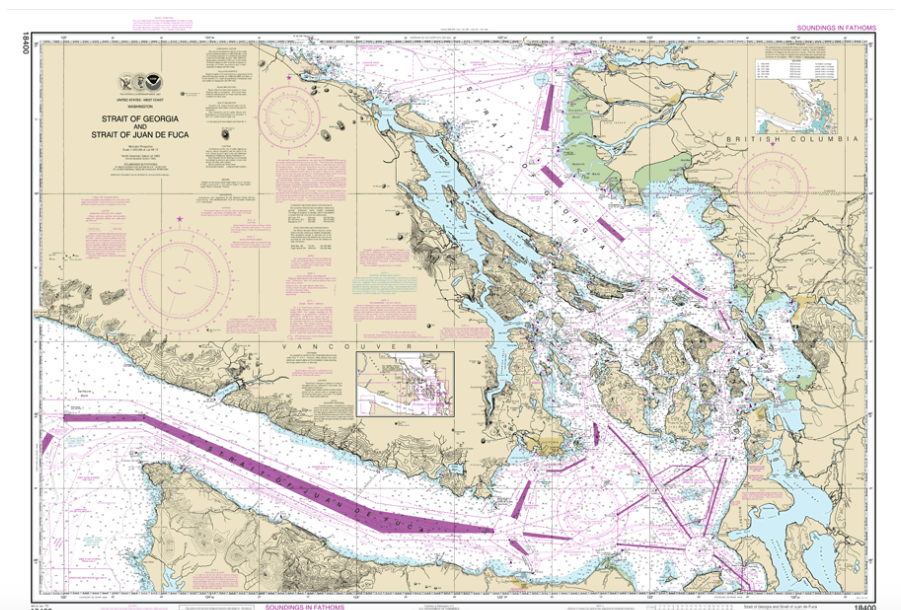
This may be the end of paper charts as we know them. In a move that could have a tremendous impact on the safety of navigation for recreational boat owners, NOAA has announced plans to end its support of the system it has been using to produce more than 1,000 paper charts as well as the charts used in cruising guides and chart books. The plan also would downgrade the value of electronic charts used in recreational boats.
This proposal is an about face from what NOAA officials said in 2014 when they decided to let private companies print official NOAA paper charts. At that time, NOAA’s website said, “NOAA’s Paper Nautical Charts Are Here to Stay.” Well, that was then. Now, NOAA has announced a National Charting Plan that would end production of the raster images used to print the paper charts; the raster images are full of details we need to navigate safely. The plan also would end the electronic raster chart files used by many software systems.
NOAA now wants to use only its Electronic Nautical Chart system, which consists of layers of vector data used by commercial vessels. They do not contain all the detail available in NOAA paper charts or raster nautical charts in areas that are not frequented by commercial vessels.
For more, and what you can do to comment on this plan, see: https://www.ajot.com/news/noaa-wants-to-stop-making-noaa-charts


