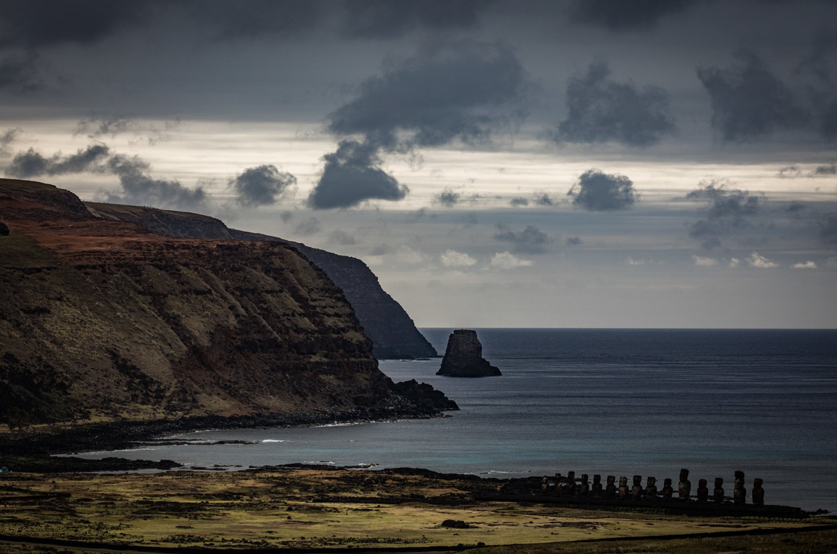
Easter Island, some 2,200 miles off of Chile in the South Pacific, has been on the bucket list for a lot of serious blue-water cruisers for many years. The main attraction (other than getting there) is the mystery surrounding the 1,100 monumental statues, built from the 13th to 16th centuries, of human figures with oversized heads, resting on enormous stone pedestals. How did they get there? And what happened to the people who built them?
Now, a new report from UNESCO says that rising sea levels and erosion around the island threaten many of the statues, burial grounds and other artifacts from Easter Island’s past. Rising sea levels already have wiped out many of the island’s sandy beaches. Here, in a thorough report from a writer-photographer team from The New York Times, a local mayor said he used to swim in one of the beaches “and the sand seemed to go on for miles. Now it’s all stone.”
There is only one sandy beach left on Easter Island, and scientists predict that sea levels could rise five or six feet by 2100, while storms and waves continue to erode many of the island’s cliffs and high shoreline. Archeologists also worry that the erosion will make it even harder for them to solve the mystery of how the statues were built and what they mean. Read more:
https://www.nytimes.com/interactive/2018/03/14/climate/easter-island-erosion.html


