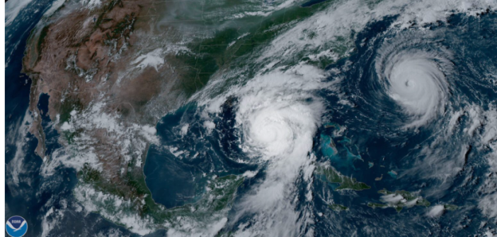
Here’s some more bad news on the hurricane front.
The National Centers for Environmental Information just reported that water temperatures in the Gulf of Mexico are already just as hot, or hotter, than they are in August. That’s important because tropical storms and hurricanes feed on warm ocean temperatures; warmer water usually means more hurricanes.
The hurricane season started on June 1 (and runs through November 30). But the Gulf waters had already grown hotter than usual before then. The water temperature off Butternut Key (between Key Largo and Islamorada) reached 88 degrees F in mid-May and was 90.1 on May 31, hotter than its normal level in August and above normal for May and June.

The temperature off Key West was 88.9 degrees F on June 1, also higher than its August level. Higher than normal temperatures were registered at other sites along the Florida coast and along the western Gulf. Buoys off Brownsville and Corpus Christi, Texas, and even Veracruz, Mexico, also reported higher than normal levels.
The National Oceanic and Atmospheric Administration already predicted that this year’s Atlantic hurricane season will be more active than usual, with anywhere from eight to 13 hurricanes with winds exceeding 74 mph. And four to seven of those could become major hurricanes, with winds higher than 111 mph.
Read more at http://ncei.noaa.gov


