If you’re thinking of going offshore without an EPIRB, don’t. As emergency distress signals, EPIRBs are an absolutely major safety item that could save your life, and the lives of everyone else on board. And they work. In fact, NOAA just reported that EPIRBs were responsible for more than 300 rescues in America last year, an enormous number. For more, read this: http://www.maritime-executive.com/article/epirb-signals-contributed-to-300-rescues-in-2016
Browsing: Electronics
Here’s a great new video showing all of Navionics’ charting and sonar capabilities. I’ve been using a Navionics Boating app on my iPhone for several years, on the East Coast, West Coast and Great Lakes, and it’s a perfect navigation backup or even planning tool. At this point, I wouldn’t leave home without it. Take a look at what Navionics can do today: https://www.youtube.com/watch?v=wmW8m_MUDY8 http://www.navionics.com
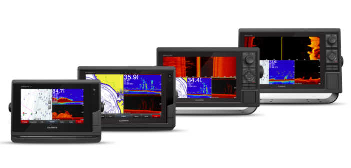
Designed for people who don’t have a lot of space at their helms, Garmin just introduced at the Fort Lauderdale show a series of smaller, less expensive touchscreen and keyed chartplotters and combo units. The new models are additions to Garmin’s popular GPSMAP series and are 7- to 12-inch plotters available with or without built-in sonar. The new units are GPSMAP 7×2 and 9×2 touchscreen chartplotters and GPSMAP 10×2 and 12×2 keyed chartplotters. Dan Bartel, Garmin’s VP of worldwide sales, says the new units “are designed for the budget-conscious customer who desires premium features typically found only in a higher-end…
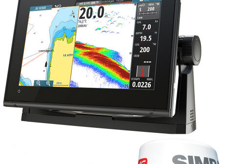
Simrad has just announced its new GO9 XSE 4G radar bundle with the company’s TotalScan, fishfinder and chartplotter, all in a user-friendly, multi-touch 9” display for smaller cruising boats. The new package has plug-and-play support for Simrad Broadband Radar and halo Pulse Compression radar systems. The bright widescreen has built-in GPS, GoFree Wi-Fi and standard NMEA 2000 capability. You can connect it to smartphones and tablets, control the sound system, monitor engine data and choose from an array of built-in sonar technology to catch the fish you want. The FMCW radar has Simrad’s Broadband 3G radar but with more features,…
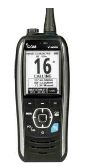
It seems that the new ICOM M93D handheld VHF radio does just about everything but drive the boat for you. It has an integrated GPS to tell you where you are and where you’re heading, built-in DSC so you can check in with other boats (or sound a distress), a special feature that sounds a buzz while it drains water away from the speaker, and a red LED light that turns on automatically (even if the radio is off) if you drop it in the water. And if floats. By the way, it’s also a state-of-the-art VHF. Slender and easy…
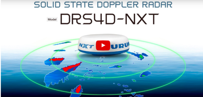
The National Marine Electronics Association named 16 winners at its annual expo, giving its annual Technology Award to Furuno’s DRS4D-NXT Doppler solid-state radar (pictured above), plus 15 “Product of Excellence” awards to other companies. Garmin was the big winner overall, being named the NMEA’s Manufacturer of the Year for the second straight year. Here’s the NMEA’s official statement. NMEA NAMES 2016 PRODUCT AWARD WINNERS AT CONFERENCE & EXPO NMEA Product of Excellence Award presented in 16 categories Garmin repeats as Manufacturer of the Year-Support Furuno Doppler radar wins NMEA Technology Award SEVERNA PARK, MD—The marine electronics industry honored several manufacturers…
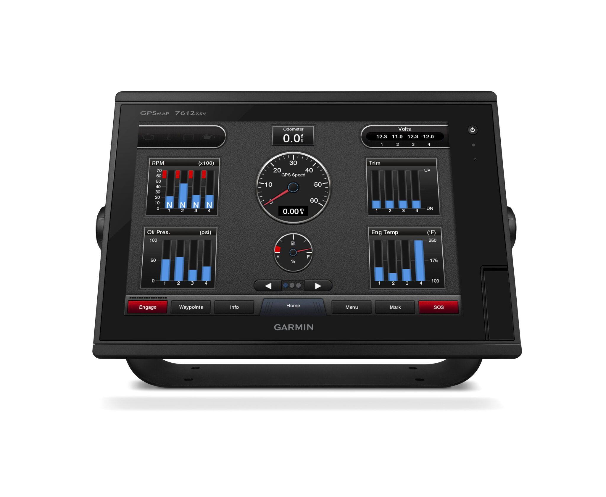
The new Garmin GPSMAP 7600 chartplotter with J1939 connection now provides engine information and is so easy to use and install that it just won the Best New Electronics award at the Newport International Boat Show. The judges, all industry experts, said the new unit “has a very intuitive user interface. Sensor data is served up very nicely and the custom setups are easy to understand and can be built in as little or as much space as needed. It has all of the features and capabilities needed and is extremely easy to use.” The new unit is a redesign…
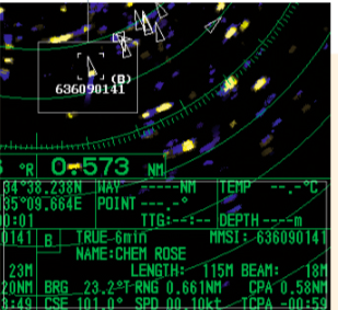
There’s a debate on the America’s Great Loop Cruisers’ Association website about the value of AIS, particularly whether cruising boats need a transponder as well as a receiver. Several cruisers say they’ve had trouble with some AIS apps, particularly in rural or remote areas where cell service is sketchy, or nonexistent. But here’s a posting from Joe Pica, a veteran cruiser from Gulf Breeze, Florida, who recently found the full AIS system on his 37-foot trawler was a great advantage in New York’s crowded harbor. His posting: “Yesterday, we left Great Kills to run up the Hudson River to hide…
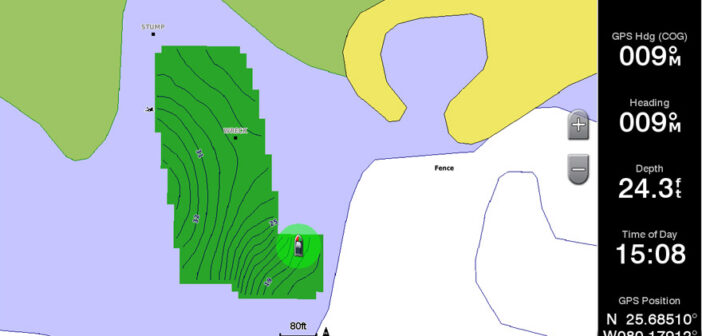
Garmin just introduced Quickdraw Community, free, user-generated map data software where you can share HD mapping content and download data. The new Quickdraw Community is based on Garmin’s Quickdraw Contours software, which lets users create personalized HD maps with one-foot contour lines on any body of water. “Garmin customers have been collecting Quickdraw Contours mapping and depth data on their devices since the free software feature became available earlier this year,” says Garmin VP Dan Bartel. “Now they have a way to easily share that data with others.” Bartel also says that Quickdraw Community, which uses sonar technology, is “the…
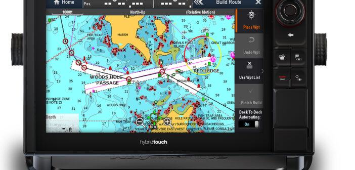
Two of the strongest names in marine electronics, Navionics and Raymarine, have collaborated to offer powerful, information-rich and user-friendly features for Raymarine multifunction displays using Lighthouse 2 operating systems. The new features let Raymarine owners take advantage of Navionics’ sophisticated algorithms to make navigation easier and safer by creating their own detailed routes, mark hazards, and even design their own bathymetry maps in real time. The new features involve Dock-to-Dock autorouting, SonarChart Live, and Advanced Map Options. Dock-to-Dock lets you plot courses taking into account nav aids, narrow channels, water depth and other hazards from from start to finish. SonarChart…
