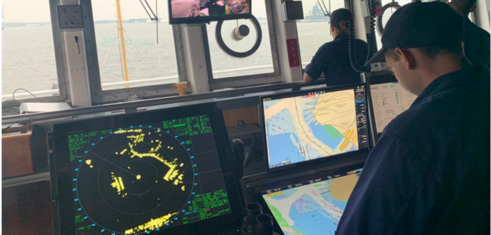
The National Oceanic and Atmospheric Administration is starting its transition to all electronic charts.
It announced its Sunsetting of Raster Nautical Charts in the Federal Register in 2019, spelling out a five-year plan to gradually end production of traditional paper and raster charts starting this year. The sunset plan starts this month with the end of the current paper chart, number 18665, of Lake Tahoe, on the California/Nevada border. After August, NOAA’s electronic chart will be the only NOAA chart of the area.
NOAA says the electronic charts are easier to update and maintain than paper charts and they will keep mariners safer with up-to-date information on marine hazards.
From now on, mariners will be notified of a chart’s cancellation in the Coast Guard’s local Notice to Mariners. NOAA will continue to announce the cancellation of paper charts as the sunset plan progresses, initially based on the volume of sales and downloads, and in regions with improved electronic chart coverage. The cancellation of all traditional paper and raster charts will be complete by January, 2025.
Even though it is phasing out paper charts, NOAA is making a major effort to improve the data consistency for electronic charts, and to provide larger scale coverage.
The government has been producing paper charts of the U.S. coasts, territorial waters and the Great Lakes since the mid-1800s, and NOAA started producing electronic charts in 1993. NOAA says the use of electronic charts passed the use of paper charts in 2011. Read more:


