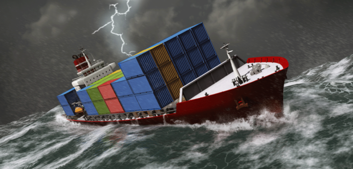
Here’s a timely, important, and often frightening story from gCaptain about why so many containers are lost at sea, and what to do about it:
Shipping containers becoming lost at sea is a significant problem for the industry – recent figures from the World Shipping Council state that an average of 1,382 shipping containers are lost at sea every year. However, more than 3,000 containers were lost in 2020 alone, including one vessel that lost 1,900 containers on its way to Kobe, Japan.
The consequences for shipping companies goes beyond goods going overboard. Container loss can incur charges and damage relations with their clients. It puts the safety of the vessel’s crew at risk and causes an environmental hazard. DTN SPOS Seakeeping combines accurate weather forecasting data and with customized vessel performance to help captains avoid putting themselves into situations where they may experience container loss. In this article, we’ll tell you more about it.
How containers get lost at sea
The primary cause of containers becoming lost at sea is adverse weather – and the waves caused by rough weather. The lashing determines whether the containers are kept in place. It has to be strong and tested to withstand specific pressures, but rough weather can exceed these limits.
The effect of waves on cargo varies depending on the type of ship:
Container ships: roll motion causes containers to lose their lashings and either fall into the sea or move around so much it damages the cargo inside
Car carriers: shifting cargo
Bulk carriers: liquefication of the cargo which can be dangerous to the ship
Right now, many shipping companies rely on their captains to interpret weather forecasts and plot routes that minimize the effects of adverse weather while moderating their speed accordingly. Often, it’s done on gut instinct alone.
How SPOS Seakeeping stops containers from getting lost at sea
Introducing Seakeeping
Seakeeping is an add-on to DTN SPOS. It is the only seakeeping solution automated to include weather forecasting and vessel motion forecasting in one user interface.
It works by combining accurate and detailed weather forecasting with hydrodynamic modeling and operational data from each ship to advise captains on the best route. Traditionally, wave and weather conditions determine optimized vessel routes but SPOS Seakeeping factors the vessel’s design and response to meet ocean conditions when determining the best route. This provides a far more precise and safer route advice specifically tailored to the operational limitations of the vessel and avoid weather that can cause a specific ship to shed cargo. It provides captains with this information as early as it can, to enable confident decision-making. Read more:


