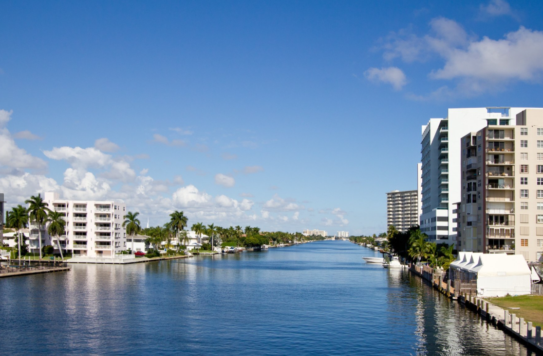
Once Google started mapping streets across the United States, we should have seen this coming. In a logical extension of its Google Maps, showing street views of homes and businesses across the United States, Google is now partnering with the Marine Industries Association of South Florida to create a new Google Waterway View of 143 nm along the Intracoastal Waterway and Biscayne Bay.
Google will use boats provided by MarineMax and Boat Owners Warehouse for their cameras, and they will cover the Waterway from the Palm Beach County line in Jupiter through Ocean Reef in Key Largo, plus some adjoining rivers, inlets and canals. The new Google Waterway View will launch as a mobile app by June when the mapping is completed, but a browser version will be available sooner.
“Waterway View has the potential to be the most exciting new resource for the boating lifestyle,” says Phil Purcell, the CEO and president of the MIASF, “connecting boaters with restaurants, marinas, fuel docks, service and sales centers and all the other resources they may need.” Local businesses can buy a listing on Waterway View to promote themselves on the map or to provide a 360-degree view inside their facilities.
Read more:
https://www.bizjournals.com/southflorida/news/2018/02/22/google-to-map-south-florida-waterways.html


