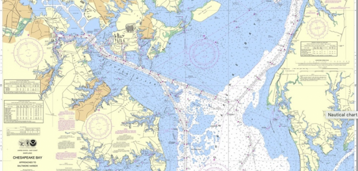
I don’t know about you, but in a room upstairs at home I have rolled up charts that I’ve used for cruising in the Atlantic, the Pacific and the Great Lakes over the years. You may have a similar space in your home, or on your boat. They remind me of many great (and some not-so-great) places I’ve been, miles under the belt. They’re a part of my history. Soon they may be relics.
NOAA just announced that it will phase out all production of paper charts over the next five years. It will make electronic vector charts instead.
NOAA has been printing paper charts since 1862. But times change. “Like most mariners, I grew up on NOAA lithographic charts and have used them for years,” said Rear Admiral Gerd Glang, director of NOAA’s Office of Coast Survey, which makes the charts. “We know the changing chart formats and availability will be a difficult change for some mariners who love their traditional paper charts, but we’re still going to provide other forms of our official charts.”
NOAA will continue to make other forms of charts, including print-on-demand charts and charts for electronic charting systems. It said it is stopping production of paper charts because of declining demand, the increasing use of digital and electronic charts, and federal budget cuts.
The changes will start on April 13. Although NOAA is cutting back on paper charts, it will continue to update electronic charts and raster charts weekly; you can download them from the Coast Survey website.
NOAA published a notice about the five-year phase-out in the Federal Register, asking for comment on the timing and other details. You can comment here: https://nauticalcharts.noaa.gov/customer-service/assist
Read more:
https://www.nauticalcharts.noaa.gov/updates/


