Garmin just announced that it’s offering a new marine satellite compass to help make navigation safer and more accurate. The new MSC 10 has multi-band GNSS and a fully integrated attitude and reference system to provide accurate heading and position information. Garmin says the MSC 10 provides precise positioning and heading accuracy within 2 degrees. The system is based on information from GPS, so it will not be affected by any magnetic interference. “An advanced navigation tool, the GPS-based MSC 10 won’t be impacted by magnetic interference, so even in challenging situations, you’ll know exactly where you’re headed,” said Dan…
Browsing: Electronics
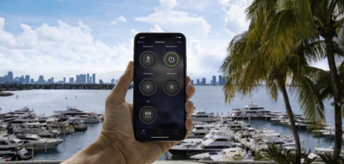
Garmin has launched a new remote OnDeck system that keeps you connected to your boat, no matter where you are. OnDeck lets you track, monitor and control (via up to five switches) what’s happening to your boat. “OnDeck is a comprehensive vessel monitoring and management tool designed to deliver important information about your boat directly to your fingertips, so you’ll always know that it’s safe, secure and ready for your next adventure,” said Dan Bartel, Garmin VP of global consumer sales. Is your bilge pump running, and running and running? You’d certainly want to know. Has your boat moved, and…
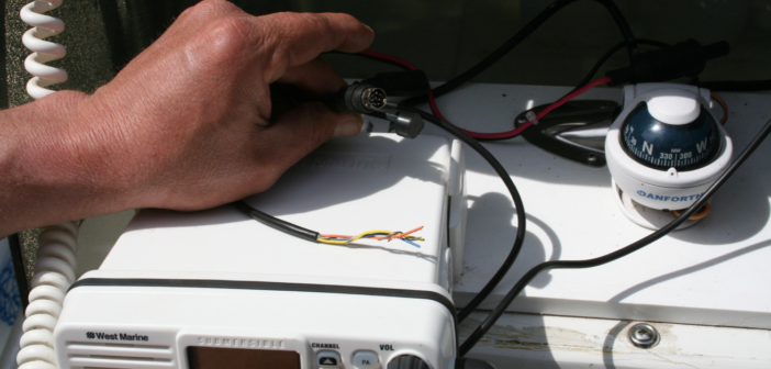
Here’s some timely advice from BoatUS about how to get your VHF ready for the season: ANNAPOLIS, Md., March 23, 2021 – In recreational boating, cellphones are just fine for routine communications. So why do you need a VHF radio – either a handheld or fixed mount – on your boat? Because in an emergency it’s the only thing that can directly connect you to the U.S. Coast Guard’s Rescue 21 system, giving you access to high-tech emergency response and Digital Selective Calling (DSC) capabilities that can hasten your rescue. All you have to do now is to ensure VHF…
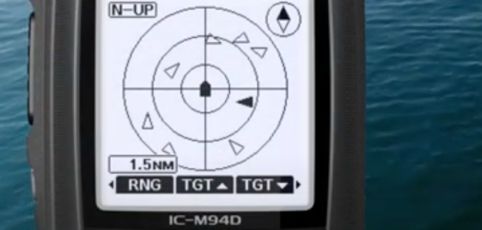
ICOM just launched its new breakthrough IC-M94D handheld VHF, the first in the world with built-in AIS. Combined with DSC (Distress Signal Calling), AIS (Automatic Identification System) is a boon to boating safety and secure navigation. Until now, AIS was limited to larger VHF units and helm-mounted display screens. With the new Icom, you can have all the safety and communications features (receive only) of AIS in the palm of your hand. You can use it on a smaller boat, a dink or simply as a back-up system on a larger vessel. The M94D is a significant VHF even without…
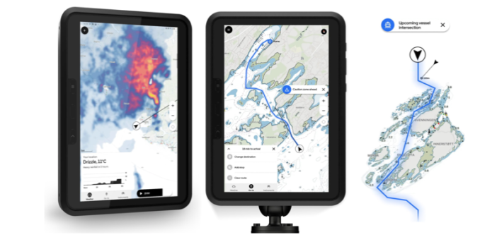
Orca, a brand-new Norwegian startup, just introduced its new wireless navigation system that is designed to become your “marine co-pilot.” A combination of hardware and software, Orca is organized around a built-from-scratch interface that is meant to make your cruising life safer, easier and more up-to-date. Orca’s founders say they started with a blank slate to rethink the entire design of marine electronics, looking for an iPhone moment. They ended up with a system that includes a rugged tablet from Samsung, a mounting arm, an interface for quick attachment and charging, and an Orca Core computing base unit that connects…
What would happen if your GPS went down? I don’t mean just the GPS on the chartplotter on your boat, or on your smartphone, or on your tablet, or even on your fitness watch. I mean the entire system. What would happen? Total chaos. Much of our infrastructure and our national defense is based on GPS. Forget about autonomous trucks on the interstate, or getting your next delivery from Amazon. GPS has become an unseen, but invaluable, part of our daily life. The problem is, at least according to this thought-provoking story in The New York Times, it’s too vulnerable.…
Iridium just launched the first world-wide, real-time emergency marine distress service. The new Iridium Global Maritime Distress and Safety System (GMDSS) started last week; it is the first immediate response and rescue service that works anywhere in the world, even in the Arctic and Antarctic. At a virtual press conference from its headquarters in McLean, Virginia, Iridium officials said the new service can provide life-saving help to mariners at sea. “This is a historic moment in both the satellite and maritime industries,” said Iridium CEO Matt Desch. “It is not every day that you get to announce the launch of…
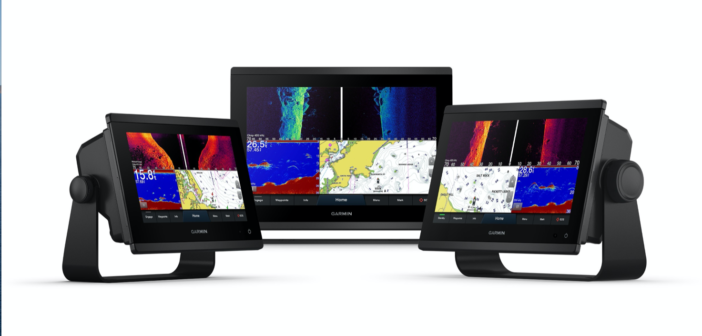
Garmin just launched its new GPSMAP x3 mid-sized chartplotters with more power and higher-res displays; they’re available with or without built-in sonar. The new units were shown at the recent Fort Lauderdale International Boat Show. Designed for a wide range of helm configurations, the new X3 series have streamlined borders with edge-to-edge glass displays and they can be installed in bail-, flush-, or flat-mounted configurations. The 12×3 and 9×3 models offer touchscreens with accurate colors that you can see from all viewing angles, even if you’re wearing polarized sunglasses. The 9×3 and 7×3 models offer 50 percent and 60 percent…
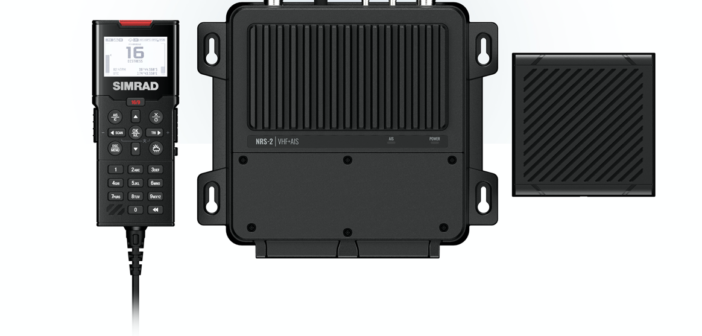
Simrad is introducing a new VHF radio and an upgrade with a Class-B AIS system, representing a pair of multi-station marine radio systems. Both radios, the RS100 and the RS100-B, which is integrated with a Class-B AIS transceiver and a GPS, are expandable and be customized for any boat. The two new radios are part of modular VHF systems that expand to include up to eight handsets (four wired and four wireless) and four external speakers. This possibility makes them appropriate for both medium-sized and larger yachts. “Our new VHF systems offer our customers ever more flexibility and better communication…
Here’s another warning about possible GPS signal problems from the U.S. Maritime Administration, part of the Department of Transportation. It said it has received reports recently of lost or inaccurate GPS signals in various parts of the world. To be safe in areas where GPS is potentially unreliable, mariners are urged to use redundant nav systems. The Maritime Administration just issued its warning, called “Various GPS Interference.” It says, “Multiple instances of significant GPS interference have been reported worldwide in the maritime domain. This interference is resulting in lost or inaccurate GPS signals affecting bridge navigation, GPS-based timing, and communications…

