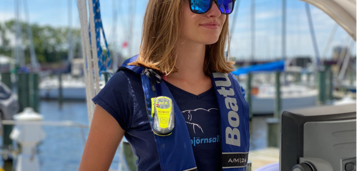
There’s no doubt that an EPIRB could save your life if you have a problem while cruising offshore. But new ones are expensive. BoatUS now offers an affordable program where you can rent one for $65 a week, plus $25 for shipping. Read about it here: SPRINGFIELD, Va., March 25, 2024 – The majority of the nation’s nearly 12 million recreational boaters don’t often travel far offshore, beyond cellular or VHF range. But for those who only do on a rare occasion, having an Emergency Position Indicating Radio Beacon (EPIRB) is important, allowing you to summon rescuers if there’s a…
Browsing: Electronics
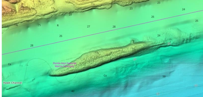
C-MAP just announced that it has updated its charts for North American with enhanced images and more detailed information. Founded in 1985, C-MAP has become a leader in digital marine cartography and cloud-based mapping. Its C-MAP App makes planning and navigating simple and easy. It’s made for your smart phone, tablet or personal computer, and you can personalize a chart with the layers you want and view it any time you want in the palm of your hand. You also can check the weather, create your own route, or rely on C-MAP’s Autorouting to do it for you. Now, the…
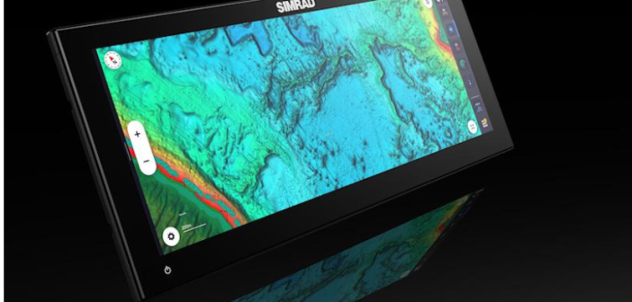
Simrad just introduced its new NSX ULTRAWIDE MFD that it says is the world’s first ultramarine display with all the features. Simrad says the new display has all the benefits of dual screens in one place, and is 63 percent wider than previous models. The NSX ULTRAWIDE results in an elevated-dash look that offers easier, faster and more efficient installation for OEM or existing boat owners with fewer cables and less set up. It is available in 12-inch and 15-inch screen sizes. The ULTRAWIDE will make its first appearance at the Düsseldorf show, starting Jan. 20, and in the U.S.…
The National Marine Electronics Association just named this year’s award winners at its annual conference in Orlando. The awards were chosen by NMEA members who voted online in 17 categories for Product of Excellence Awards, while a panel of judges named winners of the NMEA Technology Award and Best New Product Award. The Best New Product Award celebrates a new product that was introduced at the conference and that the judges thought was best in innovation, benefit to boaters, practicality and value. The winner: Furuno’s FCV800 fishfinder, which the judges said was “a real powerhouse of a standalone fishfinder.” The…
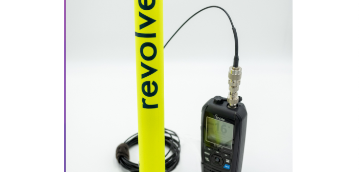
The new Revolve emergency VHF antenna, a major safety device for serious cruising people, just won an Honorable Mention award at the Newport show. It previously had been nominated for a DAME design award at the big METSTRADE show in Amsterdam. The Revolve antenna is designed to provide you with the ability to communicate on VHF Channel 16 even if your regular antenna is down, or inoperable for any reason. The Revolve also comes with AIS compatibility, so that other boats with AIS (an ever-growing number) can find you quickly. It operates on 156-162MGz, is lightweight, and maintenance free. Based…
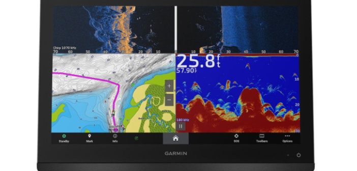
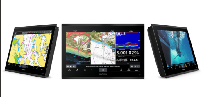
Garmin just introduced its new flagship GPSMAP 9000 chartplotter series, with 4K resolution, edge-to-edge clarity and a processor that’s seven times faster than previous versions. The new touchscreen chartplotters come in 19-, 22-, 24-, and 27-inch displays, representing the largest size in recreational boating. Prices start at $9,999. They will be available next month. The new GPSMAP 9000 MFDs work with Garmin’s BlueNet gigabit network to provide comprehensive connectivity throughout the boat, connecting multiple chartplotters, radars, cameras and sonars. They also provide multimedia streaming and video, so users can play and hear the same video and audio over multiple screens…
Here’s some great advice from America’s Boating Club, formerly the U.S. Power Squadrons, about how to set up your MMSI (Maritime Mobile Service Identity), a major safety feature. Read on: If your boat has a dedicated marine radio, GPS or AIS, your boat systems are not complete until you also have a Maritime Mobile Service Identity, or MMSI. The nine-digit MMSI uniquely identifies your vessel, which is crucial in the event of an on-the-water emergency. “Each boat is unique. Beyond having a physical name that can be seen up close, each deserves to have its own MMSI that can be…
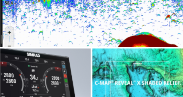
Simrad just introduced a new NSX operating system for mid-sized dayboats and center consoles with redesigned charts, its fastest routing ever, and seamless integration giving you more control of your boat. The NSX system is meant to be user-friendly, letting you spend less time playing with the screen and more time enjoying your time on the water. It is smoother, faster, and more intuitive than previous versions. It includes a new activities bar, a reconfigured activities menu, and a fully customizable instruments panel so you can make the system work the way you prefer. The new auto-routing is three times…
Garmin just unveiled a new GMR xHD3 series of open-array radars with high-definition imaging and the latest technology for new levels of clarity and performance. The new xHD3 series uses scan averaging, a first for Garmin’s magnetron radar, to help filter sea clutter and interference to provide users with enhanced, consistent targets. Processing of target size uses pulse expansion to optimize on-screen shapes for easier interpretation at all ranges, and true echo trails show a historic “trail” of boats on the water, removing the influence of relative motion, so users can more quickly identify moving targets and potential threats of…
The Coast Guard just announced that it’s buying a new radar system that will improve their search-and-rescue efforts significantly. The new next-generation weather radar system, the Honeywell IntuVue RDR-7000, uses automated technology; it will be used to upgrade the radar now on Coast Guard Jayhawk and Dolphin helicopters, replacing the current manual systems with fully automated tilt-and-gain controls. With the current system, a pilot has to manually adjust the controls to direct the radar beam. The new automated system, which captures weather as far as 80 nm away, will be particularly valuable to Coast Guard crews on search-and-rescue missions that…
